Wildfires are becoming an increasingly common threat worldwide. Record-breaking burns from Australia to the Amazon to the United States are devastating the environment. The deadly wildfires that raged across Los Angeles in January were estimated to have caused more than $250 billion in damages.
Current satellite imagery is often low resolution, infrequently updated and unable to detect small fires. But what if there was a way to spot wildfires earlier and more accurately before they become raging infernos?
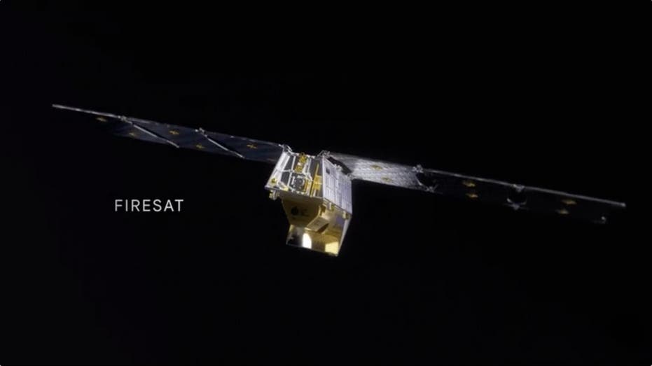
Enter FireSat, a new satellite project designed to detect and track wildfires early. How early? The project aims to detect a fire that's merely 270 square feet – about the size of a classroom – within 20 minutes. It's also able to detect fires two to three acres in size, roughly the size of two foo...
.png)
 1 day ago
5


 English (US) ·